Chinese satellite constellation captures high-precision terrain images
 0 Comment(s)
 Print
Print E-mail Xinhua, October 18, 2023

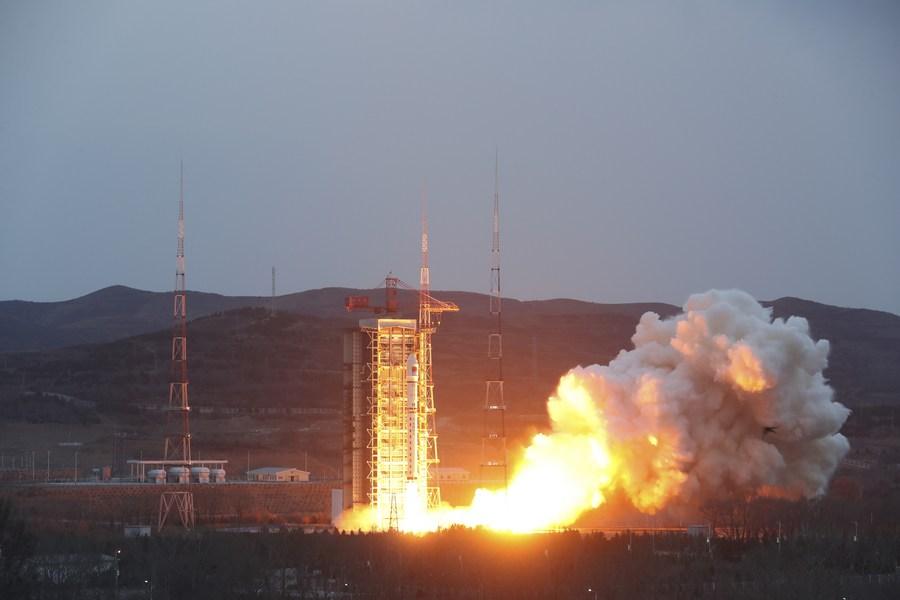
A Long March-2D rocket carrying satellites of the PIESAT-1 constellation blasts off from the Taiyuan Satellite Launch Center in north China's Shanxi Province, March 30, 2023. [Photo/Xinhua]
A Chinese constellation of remote-sensing satellites has successfully obtained high-precision terrain mapping data products using the multi-baseline interferometric synthetic aperture radar (InSAR) technology, marking the country's first in-orbit application of such a mapping system.
The breakthrough was made public on Tuesday in a press release from the Aerospace Information Research Institute (AIR) under the Chinese Academy of Sciences.
In March, China launched PIESAT-1 or Hongtu-1, a wheel-like formation of four satellites, the first formation of its kind in the world.
This in-orbit constellation comprises a primary satellite as the central "axle" and three evenly spaced auxiliary satellites orbiting around it. The auxiliary trio is located just a few hundred meters from the primary satellite.
The InSAR radars installed on the satellites can capture two images of the same location by bouncing radar signals off the Earth's surface at different times. By causing the images to interfere with each other, they produce maps called interferograms, which reveal the ground-surface displacement between the two time periods.
Compared with traditional InSARs, a wheel formation can generate more interference baselines, thus increasing mapping efficiency.
The highest resolution of the AIR-designed constellation is smaller than 0.5 meters and can effectively solve the problem of high-precision elevation reconstruction of complex types of terrain, such as steep slopes and cliffs, said the AIR.
Small and low-cost SAR satellite constellations like PIESAT-1 can play an important role in monitoring urban geological disasters, flood disasters and surface subsidence, according to its designers.


Go to Forum >>0 Comment(s)