NASA images of World Cup countries
 0 Comment(s)
 Print
Print E-mail China.org.cn, June 13, 2014
|
|
|
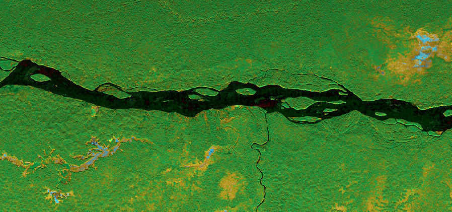
Ecuador. Napo River, Ecuador. NASA's Uninhabited Aerial Vehicle Synthetic Aperture Radar (UAVSAR) captured this data on March 17, 2013, as the instrument was being flown on a NASA Gulfstream C-20A aircraft. The scene shows forested wetlands around the Napo River in Ecuador and Peru at a resolution of 6 meters (20 feet) per pixel.[NASA] |


Go to Forum >>0 Comment(s)