Collapses of part of the Yangtze River bank and a neighboring road have been blamed on unstable geology and past road works, according to sources in central China's Hubei Province Monday.

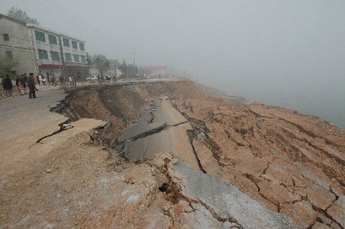
The riverbank on a section of the Yangtze River in Yidu, Hubei Province, collapsed on April 5, 2008.
The accident disrupted road traffic in the central Chinese provinces of Hubei, Hunan and the southwestern Chongqing Municipality.
Investigations found that the collapse was caused by the unstable geology, worsened by at least two road-fill construction projects since 1970s. The recent snow storms also loosened soil.
Shipping on the Yangtze remain unaffected. Experts have closely watched the accidental places, and the road traffic will be resumed three months later.
Banks along Yangtze's middle reaches near Yangxi Wharf in Yidu City of Hubei Province collapsed at around 2:10 AM on Saturday, causing a cave-in on a pivotal highway on the southern bank, a spokesman with the city government said.
The road subsidence, which occurred two hours after the bank collapsed, measured nearly 30,000 cubic meters and left a 12-meter-deep pit on Provincial Highway No. 254.
The collapsed bank, about 80 kilometers downstream from Gezhouba Dam, suffered four collapses in recent years. Experts blamed lack of funds for past poor repair work.

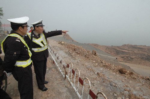
Two policemen work the area around the collapsed riverbank on the Yangtze River in Yidu, Hubei Province, on April 6, 2008.

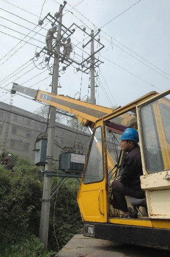
A crane removes the high voltage wire from the collapsed riverbank on the Yangtze River to ensure continued power supply to nearby residents on April 6, 2008.
(Xinhua News Agency April 8, 2008)