NASA images of World Cup countries
 0 Comment(s)
 Print
Print E-mail China.org.cn, June 13, 2014
|
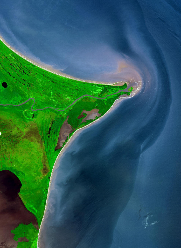
Honduras. The Mosquito Coast. Around 15 degrees North, a rounded point of land juts out into the Caribbean Sea from the Central American isthmus. This low-lying, wet area is called the Mosquito Coast, a corruption of the tribal name of some of the area’s native people, the Miskito. The area includes parts of Honduras (north) and Nicaragua (south). Between the two countries flows the Coco River, which empties into the Caribbean at Cape Gracias Dios. [NASA] |


Go to Forum >>0 Comment(s)